CAVE Lab
Computational Archaeology and Visualized Environments
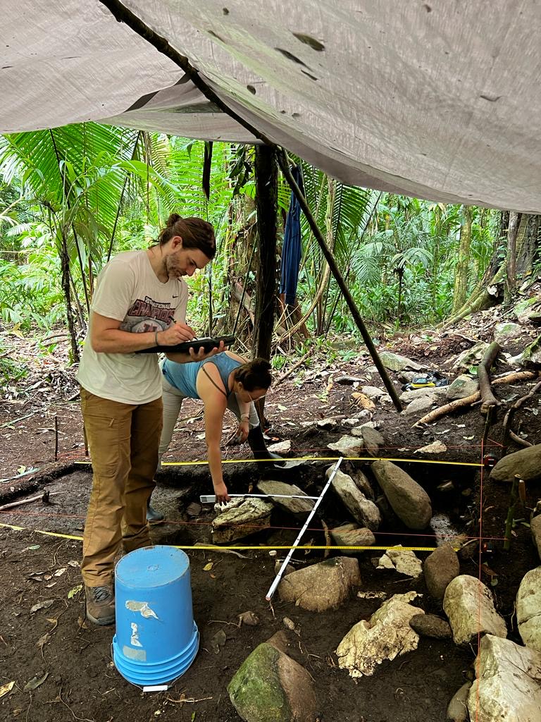
The CAVE Lab will be a research and teaching lab focused on ancient landscapes, geospatial science, environmental change, and digital heritage. The lab will study how people transform environments across time through integrated field, lab, and computational methods.
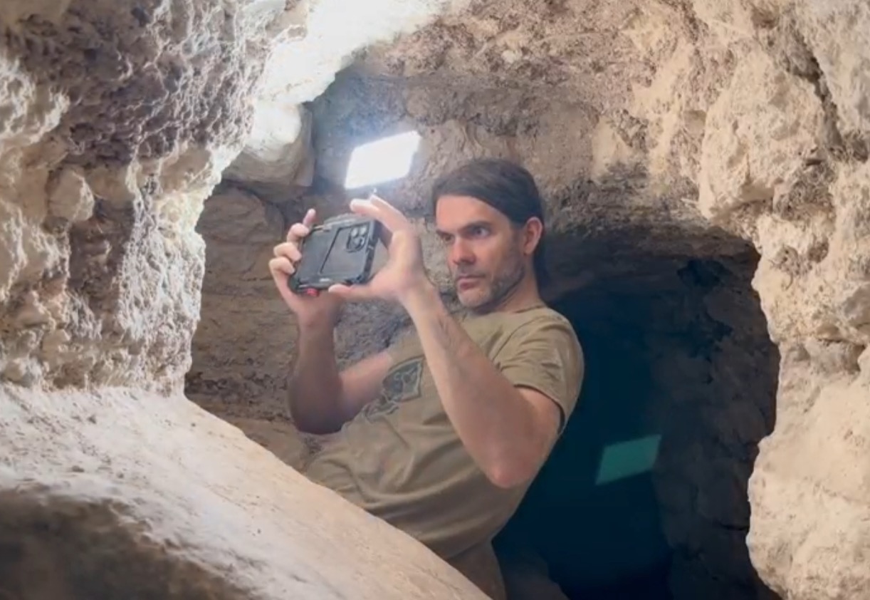
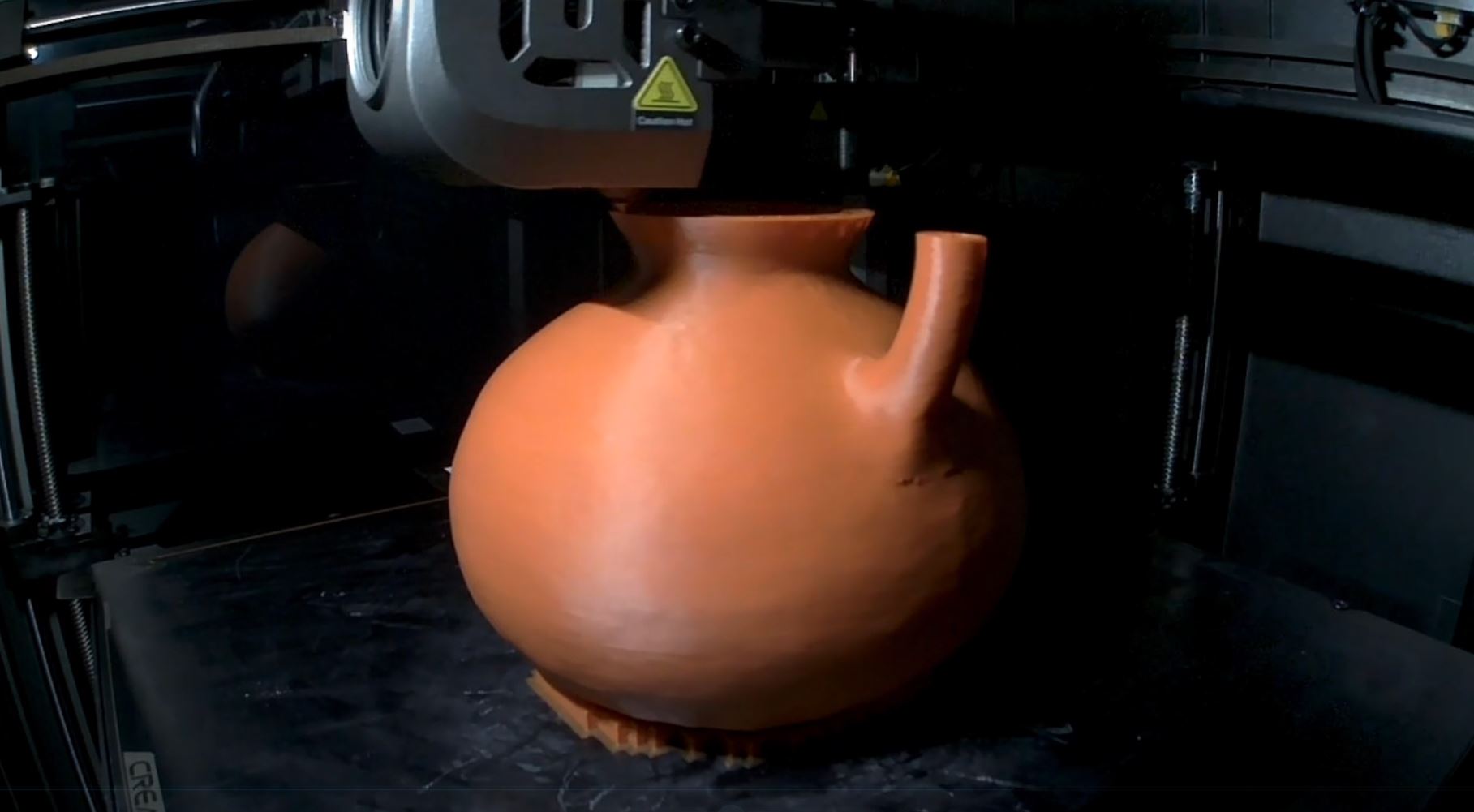
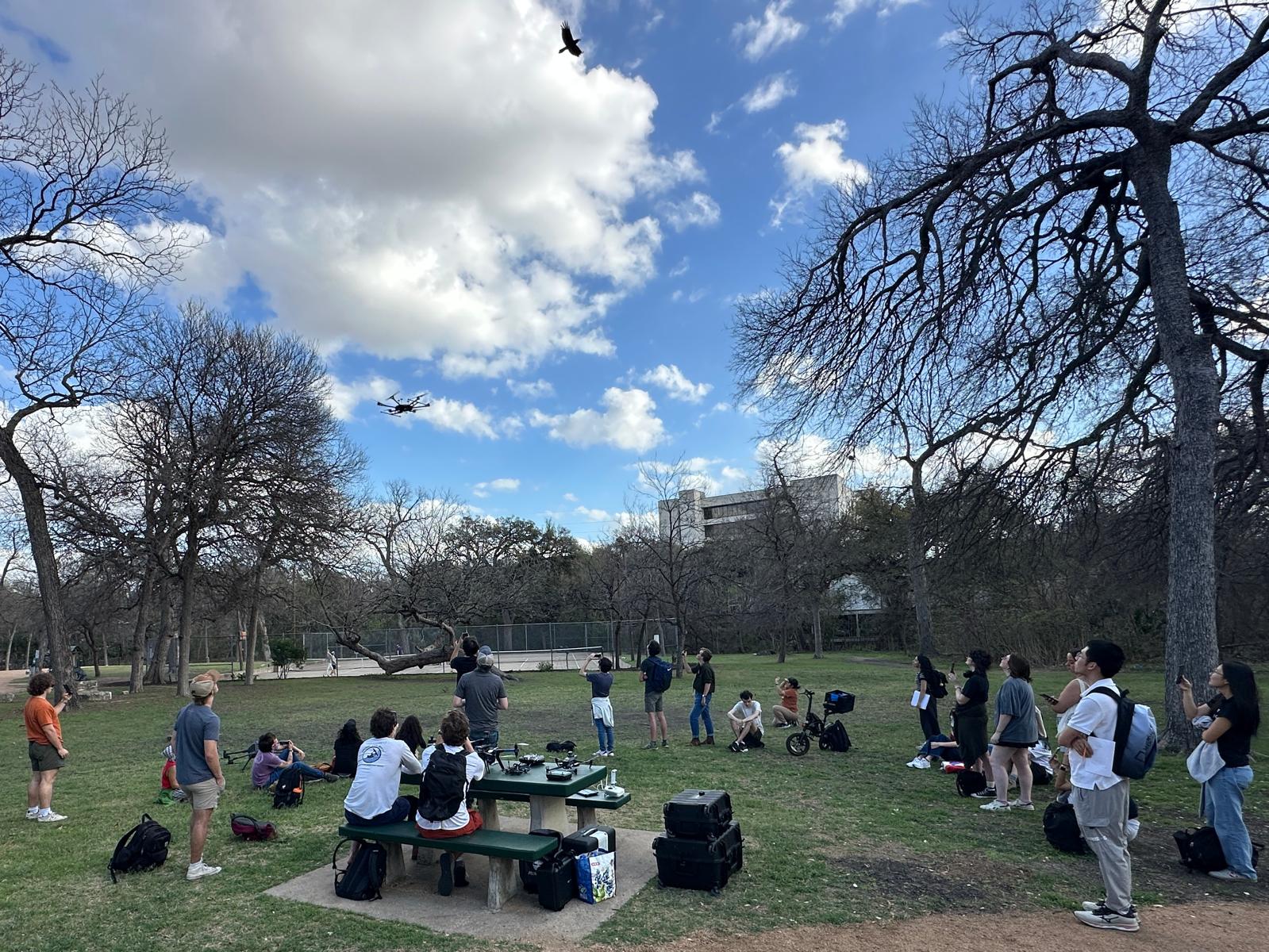
Through lidar, drone mapping, 3D scanning, geophysics, excavation, coring, soil and sediment analysis, remote sensing, VR, and 3D printing, the CAVE Lab will document ancient engineered landscapes and their modern environmental legacies.
Research
Ancient engineered landscapes, environmental legacies, settlement patterns, digital geospatial heritage, and long-term human–environment interaction.
Methods
Airborne and UAV lidar, GIS, drone mapping, TLS, mobile lidar, photogrammetry, GPR, coring, soils, bathymetry, VR, 3D printing, and digital heritage restoration.
Student Training
The lab will prioritize hands-on learning and practical geospatial, field, and digital skills that students can carry into research, cultural resource management, environmental work, GIS careers, conservation, and public service.
Field School Vision
A future goal is to develop field training in Belize that connects archaeology, geography, environmental science, drone mapping, agricultural landscapes, and cultural immersion through partnerships and existing field infrastructure.